The OWL EYE® Fleet Control & Mapping System is designed for a wide range of demanding applications in which terrain, material and machines need to be efficiently recorded and controlled. Whether it’s extensive outdoor areas or complex indoor spaces – the system adapts flexibly to the respective environment.
Outdoors, OWL EYE® works with RTK-supported GPS and delivers position data accurate to the centimetre. In indoor areas where GPS reception is not possible, an intelligent SLAM module (Simultaneous Localisation and Mapping) takes over navigation and mapping – without any external reference points.
Thanks to its modular design, the solution can be retrofitted to existing machines as well as integrated into new systems. The combination of automated 3D mapping and live visualisation of vehicle movements makes OWL EYE® the ideal tool for planning, analysis and operational control.
Typical application environments:
-
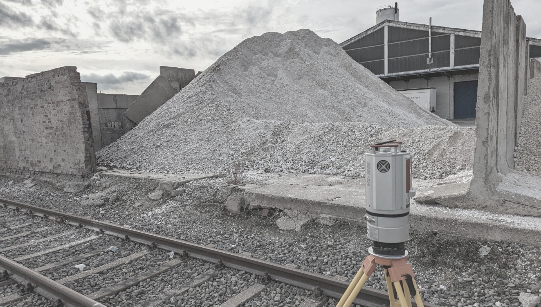
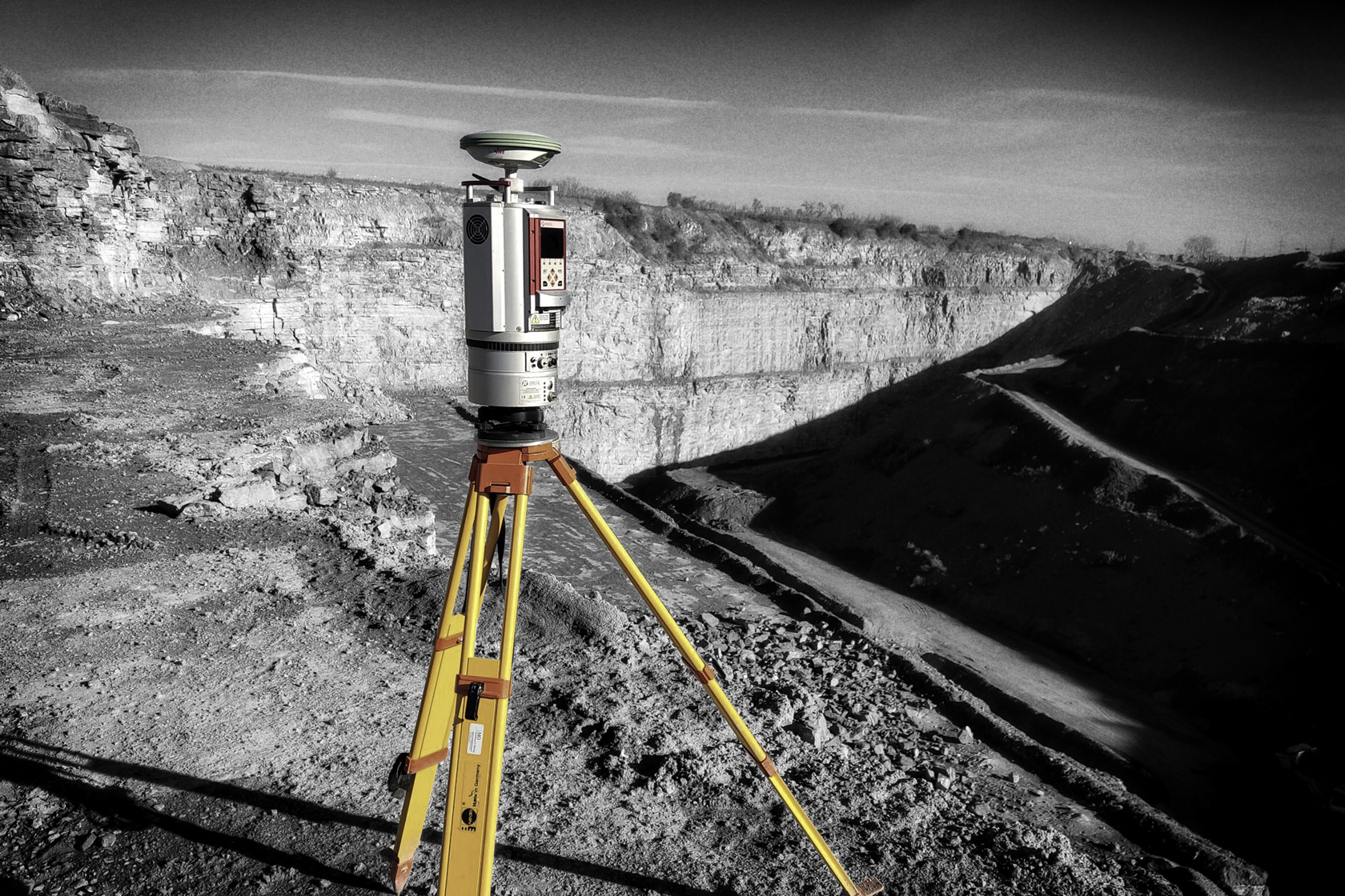
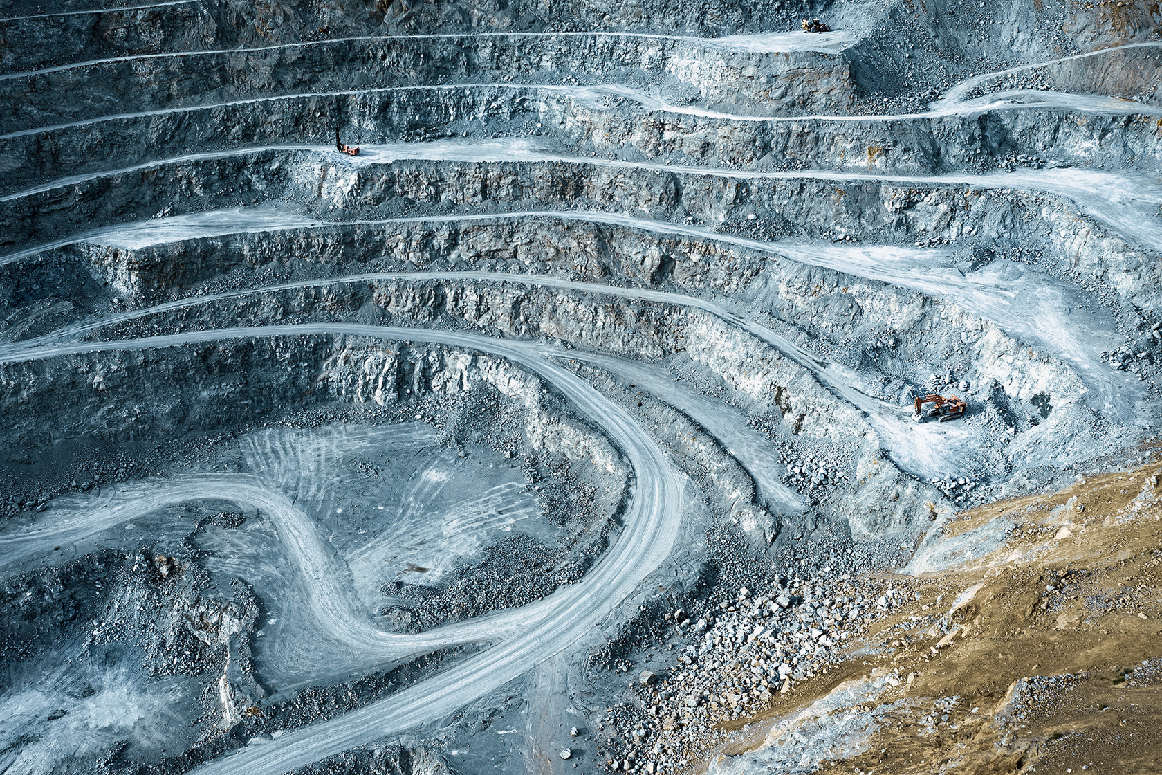
Opencast mines & raw material extraction – Capture terrain shapes, stockpile volumes and machine operations on unclear terrain.
-
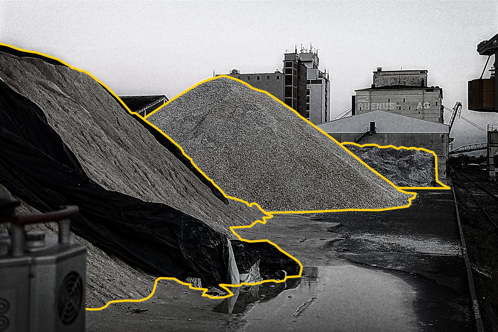
Storage bins with bulk material stockpiles – Visualise material movements and storage statuses in real time – including history.
-
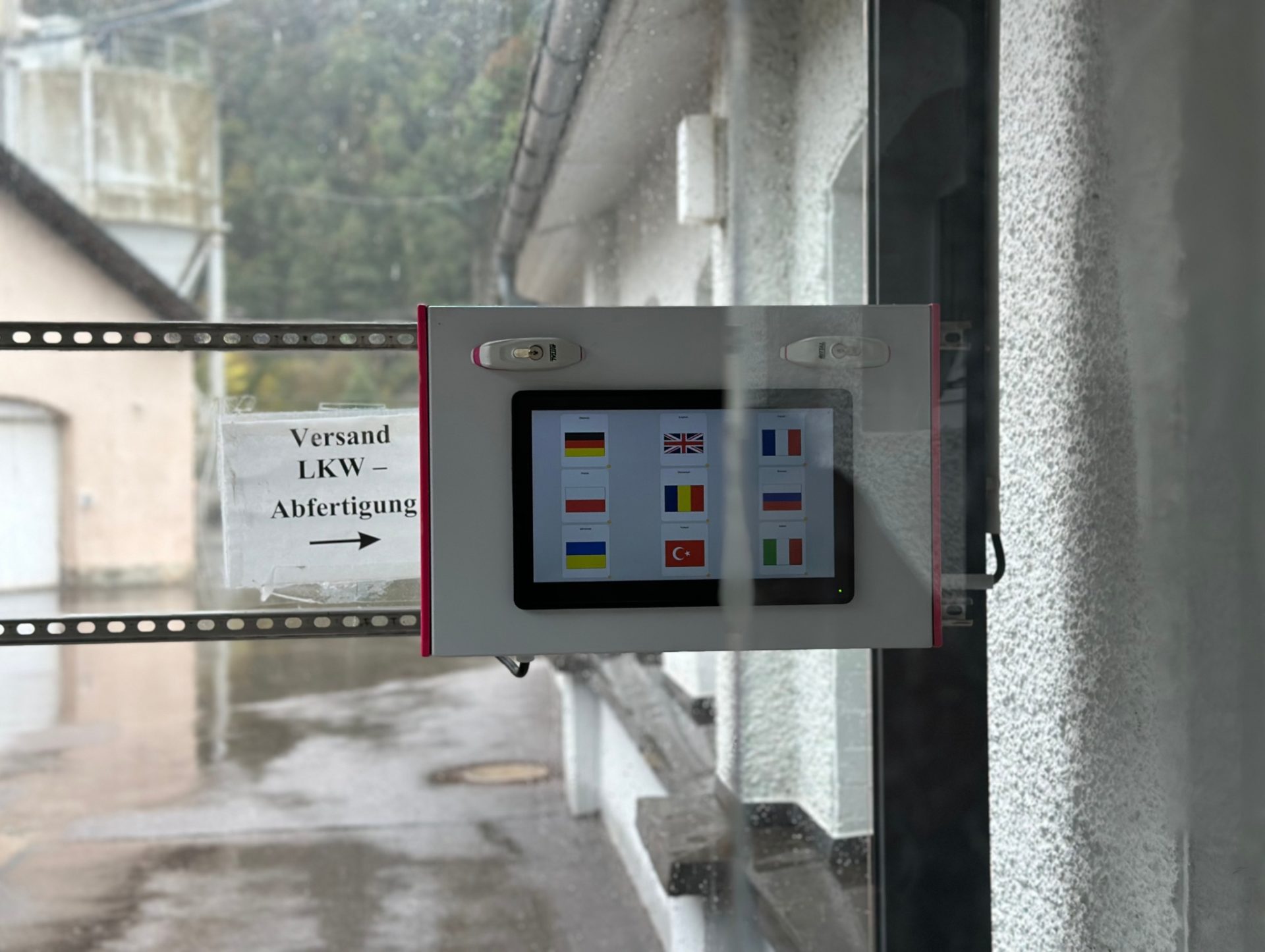
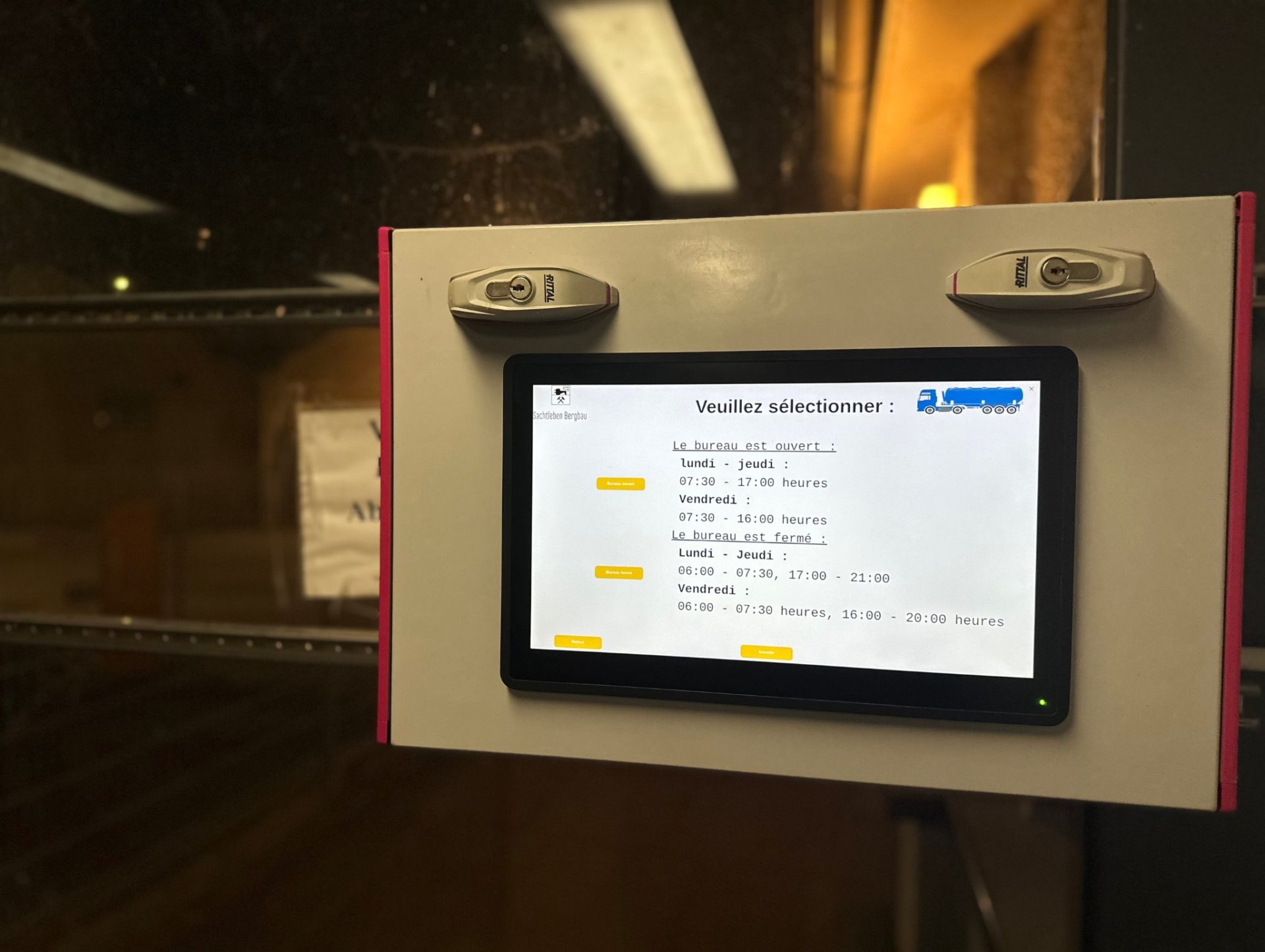
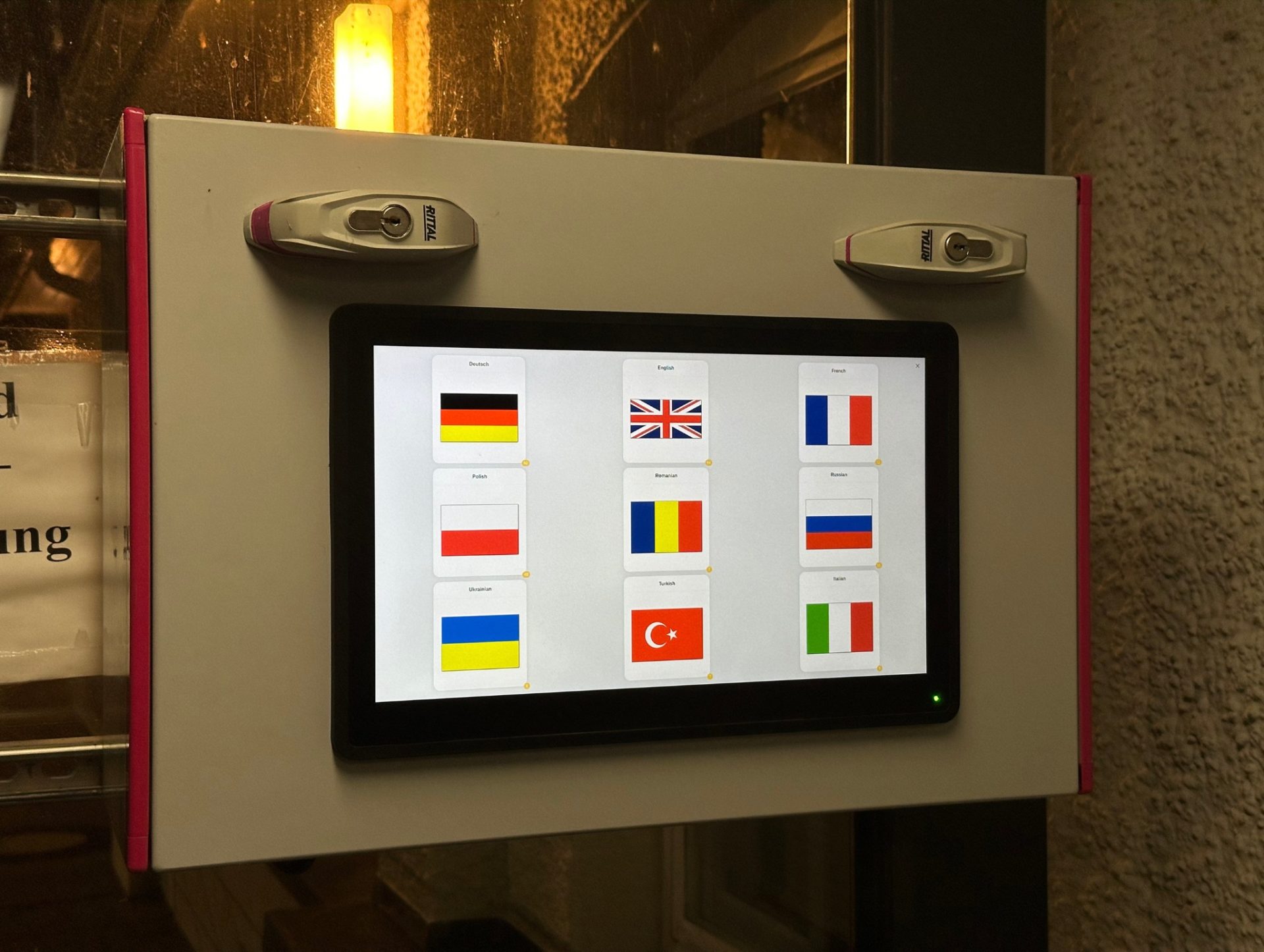
Industrial plants & factory premises – Monitor the internal vehicle flow as well as indoor and outdoor areas.
-
Logistics areas & transshipment points – Plan and analyse routes, capacity utilisation and movement patterns in large areas.
- Indoor areas & hall logistics – Thanks to SLAM-based navigation, the system is also suitable for GPS-free environments with a high degree of structure.
Typical applications:
-
Automated mapping and 3D surveying of terrain and stockpiles
-
Live tracking and analysis of machine positions, movements and routes
-
Combined view of indoor and outdoor areas in one surface
-
Data basis for documentation, billing, planning and optimisation
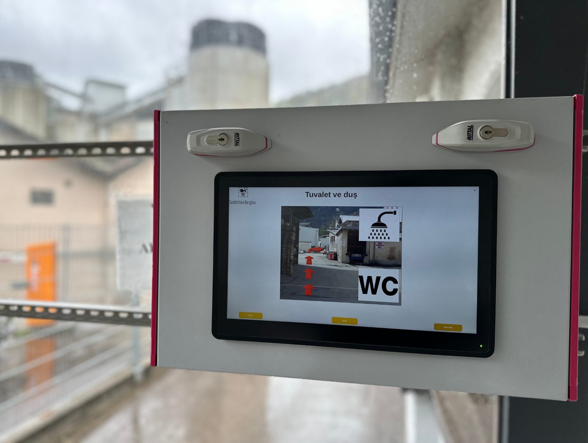
Indoor localisation for precise navigation in halls and buildings
In complex indoor areas, the OWL EYE® system enables precise localisation and route tracking of vehicles – without the need for GPS. The integrated SLAM module recognises the surroundings in real time and automatically creates digital maps. This allows movements to be monitored in detail, events to be triggered when certain zones are reached (e.g. storage boxes or production stations) and process steps such as recipe checks to be monitored automatically. This ensures maximum transparency and efficiency in warehouse logistics.